Views
41
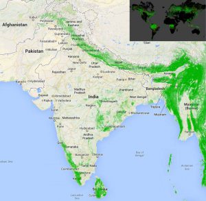
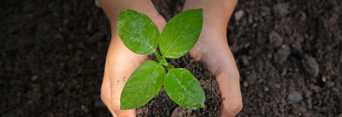
| Google Earth recently launched the first high-resolution map of global deforestation. It was developed in collaboration with the University of Maryland, NASA and USGS by analyzing 654,178 Landsat images from the last ten years. The interactive map should hopefully make a difference in fighting deforestation since studies have shown that tropical forest loss is increasing by 2,101 square kilometers each year. It is scalable down to 30 meters and shows forest cover and loss on a global scale. Increase India’s green cover by planting trees across 7 locations in India through www.Grow-Trees.com. Click here to see the map – http://bit.ly/ForestCover |
Subscribe to our newsletter and recieve a selection of our cool articles every week.
Copyrights @ 2025 All rights reserved by Pangea EcoNetAssets Pvt Ltd.